
Faire un don
Équipez-vous pour votre prochaine aventure :
En tant que Partenaire Amazon, ce site perçoit une commission sur les achats éligibles sans surcoût pour vous.
Carte topographique Volcán Licancabur
Cliquez sur la carte pour afficher l’altitude.
Faire un don
Équipez-vous pour votre prochaine aventure :
En tant que Partenaire Amazon, ce site perçoit une commission sur les achats éligibles sans surcoût pour vous.
Volcán Licancabur
The volcano is in the Puna de Atacama/Cordillera Occidental of the Andes. Politically, it is located in the Antofagasta Region of Chile and the Potosí Department of Bolivia; the border goes over Licancabur. Less than 20 kilometres (12 mi) south is the Llano del Chajnantor Observatory. San Pedro de Atacama is 32 kilometres (20 mi) west of Licancabur while the adjacent region in Bolivia is largely uninhabited. The border crossing Paso de Jama and the Chile Route 27 between Argentina and Chile pass along the southern foot of Licancabur. In 1953, a road led to 4,300 metres (14,000 ft) elevation.
Faire un don
Équipez-vous pour votre prochaine aventure :
En tant que Partenaire Amazon, ce site perçoit une commission sur les achats éligibles sans surcoût pour vous.
À propos de cette carte
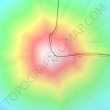
Nom : Carte topographique Volcán Licancabur, altitude, relief.
Altitude moyenne : 5 285 m
Altitude minimum : 4 699 m
Altitude maximum : 5 920 m
Faire un don
Équipez-vous pour votre prochaine aventure :
En tant que Partenaire Amazon, ce site perçoit une commission sur les achats éligibles sans surcoût pour vous.