
Carte topographique Bagong Silangan
Carte interactive
Cliquez sur la carte pour afficher l’altitude.
À propos de cette carte
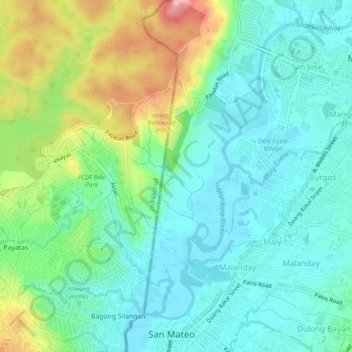
Nom : Carte topographique Bagong Silangan, altitude, relief.
Altitude moyenne : 46 m
Altitude minimum : 8 m
Altitude maximum : 138 m
Autres cartes topographiques
Cliquez sur une carte pour visualiser sa topographie, son altitude et son relief.
Payatas
Payatas, 2nd District, Quezon City, Grand Manille, 1126, Philippines
Altitude moyenne : 61 m