
Carte topographique Chirala
Carte interactive
Cliquez sur la carte pour afficher l’altitude.
Chirala
The coordinates of the city are 15°49′29″N 80°21′08″E / 15.8246°N 80.3521°E / 15.8246; 80.3521 and is located at an altitude of 3 m (9.8 ft) from the coast of Bay of Bengal.
À propos de cette carte
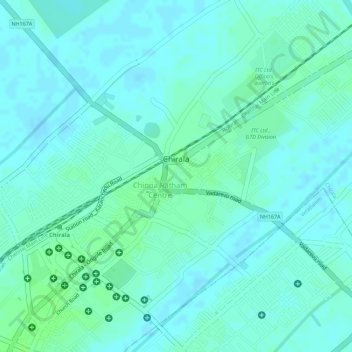
Nom : Carte topographique Chirala, altitude, relief.
Lieu : Chirala, Bapatla District, Andhra Pradesh, 523155, India (15.82356 80.35840 15.84604 80.37961)
Altitude moyenne : 6 m
Altitude minimum : 2 m
Altitude maximum : 11 m
Autres cartes topographiques
Cliquez sur une carte pour visualiser sa topographie, son altitude et son relief.