
Carte topographique Eramalloor
Carte interactive
Cliquez sur la carte pour afficher l’altitude.
À propos de cette carte
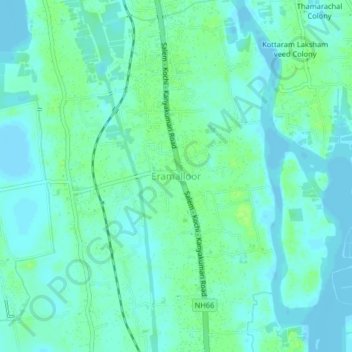
Nom : Carte topographique Eramalloor, altitude, relief.
Lieu : Eramalloor, Cherthala, Alappuzha, Kerala, 688537, India (9.80293 76.29065 9.84293 76.33065)
Altitude moyenne : 5 m
Altitude minimum : -1 m
Altitude maximum : 13 m
Autres cartes topographiques
Cliquez sur une carte pour visualiser sa topographie, son altitude et son relief.