
Carte topographique Genesee
Carte interactive
Cliquez sur la carte pour afficher l’altitude.
Genesee
Genesee is located at 46°33.0′N 116°55.5′W / 46.5500°N 116.9250°W / 46.5500; -116.9250 (46.5506, -116.9245)., at an elevation of 2,680 feet (817 m) above sea level. Located in the Palouse region, it is approximately 14 miles (23 km) south of Moscow, about halfway to Lewiston. The city center is just east of US-95, and just north of the Nez Perce County line in Sections 13 and 14 of Township 37 North, Range 5 West.
À propos de cette carte
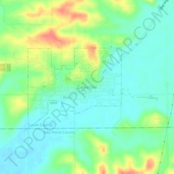
Nom : Carte topographique Genesee, altitude, relief.
Altitude moyenne : 824 m
Altitude minimum : 805 m
Altitude maximum : 859 m