
Carte topographique (West) Mueller Park
Carte interactive
Cliquez sur la carte pour afficher l’altitude.
À propos de cette carte
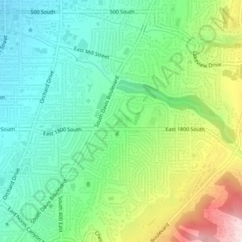
Nom : Carte topographique (West) Mueller Park, altitude, relief.
Altitude moyenne : 1 473 m
Altitude minimum : 1 341 m
Altitude maximum : 1 750 m