
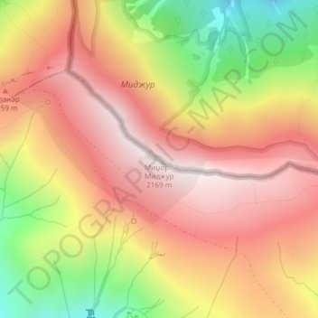
Carte topographique Midžor
Carte interactive
Cliquez sur la carte pour afficher l’altitude.
À propos de cette carte
Nom : Carte topographique Midžor, altitude, relief.
Altitude moyenne : 1 810 m
Altitude minimum : 1 303 m
Altitude maximum : 2 161 m
Autres cartes topographiques
Cliquez sur une carte pour visualiser sa topographie, son altitude et son relief.
City of Pirot
Serbia > Central Serbia > Pirot Administrative District > City of Pirot
City of Pirot, Pirot Administrative District, Central Serbia, 18300, Serbia
Altitude moyenne : 807 m