
Carte topographique Berea
Carte interactive
Cliquez sur la carte pour afficher l’altitude.
Berea
Berea is located on the border of the Cumberland Plateau. The area has a mountainous appearance, but most outcroppings in the area have a maximum elevation of 2,500 feet or 760 metres.
À propos de cette carte
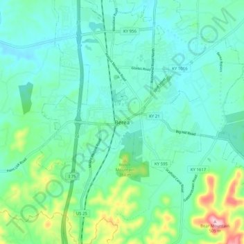
Nom : Carte topographique Berea, altitude, relief.
Lieu : Berea, Madison County, Kentucky, 40404, United States (37.52869 -84.33632 37.60869 -84.25632)
Altitude moyenne : 314 m
Altitude minimum : 264 m
Altitude maximum : 504 m