Géolocaliser

Carte topographique Baggan

Cliquez sur la carte pour afficher l’altitude.

À propos de cette carte
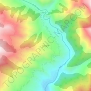
Nom : Carte topographique Baggan, altitude, relief.

Lieu : Baggan, Billawar, Kathua District, Jammu and Kashmir, India (32.64458 75.65323 32.68458 75.69323)

Altitude moyenne : 1 268 m

Altitude minimum : 881 m

Altitude maximum : 1 788 m

Équipez-vous pour votre prochaine aventure :

🧤Gants outdoor - Protection thermique pour mains
🧢Tours de cou multifonctions - Protection contre froid et vent
🛌Sac de Couchage - Isolation thermique performante pour vos nuits en altitude.
🗡️Couteaux outdoor - Couteaux polyvalents pour randonnée et camping
🧼Serviette Microfibre - Séchage rapide et encombrement minimal.

En tant que Partenaire Amazon, ce site perçoit une commission sur les achats éligibles sans surcoût pour vous.