

Carte topographique Landican
Cliquez sur la carte pour afficher l’altitude.
Landican
Landican is in the central part of the Wirral Peninsula, approximately 6 km (3.7 mi) south-south-east of the Irish Sea at Leasowe Lighthouse, 5 km (3.1 mi) east-north-east of the Dee Estuary at Thurstaston and 5 km (3.1 mi) west-south-west of the River Mersey at Tranmere Oil Terminal. Landican is situated between Thurstaston Hill and the Bidston to Storeton ridge, with the centre of the hamlet at an elevation of about 44 m (144 ft) above sea level.
À propos de cette carte
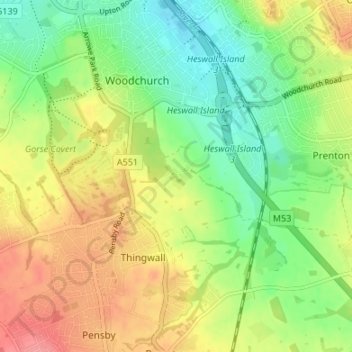
Nom : Carte topographique Landican, altitude, relief.
Altitude moyenne : 45 m
Altitude minimum : 10 m
Altitude maximum : 87 m