
Carte topographique Gehlberg
Carte interactive
Cliquez sur la carte pour afficher l’altitude.
À propos de cette carte
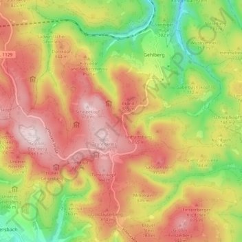
Nom : Carte topographique Gehlberg, altitude, relief.
Lieu : Gehlberg, Suhl, Thüringen, Duitsland (50.63609 10.73381 50.68895 10.82872)
Altitude moyenne : 771 m
Altitude minimum : 524 m
Altitude maximum : 980 m
Autres cartes topographiques
Cliquez sur une carte pour visualiser sa topographie, son altitude et son relief.