
Carte topographique Elizabeth City
Carte interactive
Cliquez sur la carte pour afficher l’altitude.
À propos de cette carte
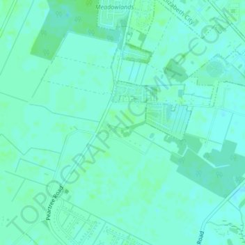
Nom : Carte topographique Elizabeth City, altitude, relief.
Altitude moyenne : 4 m
Altitude minimum : -2 m
Altitude maximum : 7 m
According to the United States Census Bureau, Elizabeth City has a total area of 12.2 square miles (31.7 km2), of which 11.6 square miles (30.1 km2) is land and 0.62 square miles (1.6 km2), or 5.09%, is water. Located in the "Inner Banks" region of North Carolina, Elizabeth City is largely flat and marshy with an elevation of only 12 feet (3.7 m) above sea level. The city's semi-coastal geography has played an important role in its history—Elizabeth City once hosted thriving oyster and timber industries.