
Carte topographique Crookham Common
Carte interactive
Cliquez sur la carte pour afficher l’altitude.
À propos de cette carte
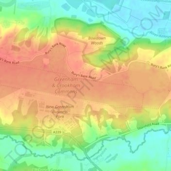
Nom : Carte topographique Crookham Common, altitude, relief.
Altitude moyenne : 98 m
Altitude minimum : 65 m
Altitude maximum : 125 m
Autres cartes topographiques
Cliquez sur une carte pour visualiser sa topographie, son altitude et son relief.
Thatcham
United Kingdom > England > West Berkshire > Thatcham
Thatcham, West Berkshire, England, United Kingdom
Altitude moyenne : 94 m