
Carte topographique Dwight
Carte interactive
Cliquez sur la carte pour afficher l’altitude.
À propos de cette carte
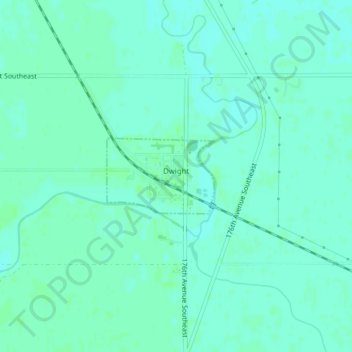
Nom : Carte topographique Dwight, altitude, relief.
Lieu : Dwight, Richland County, North Dakota, United States (46.30083 -96.74584 46.30662 -96.73388)
Altitude moyenne : 290 m
Altitude minimum : 287 m
Altitude maximum : 293 m
Autres cartes topographiques
Cliquez sur une carte pour visualiser sa topographie, son altitude et son relief.
Waldo Township
United States > North Dakota > Richland County
Waldo Township, Richland County, North Dakota, United States
Altitude moyenne : 308 m