

Carte topographique Khandala
Cliquez sur la carte pour afficher l’altitude.
Khandala
Adjacent to the Lohagad fort lies the visapur fort which is part of the Lohagad-Visapur fortification. Visapur Fort is larger and at a higher elevation than its twin- Lohagad. It was built during 1713-1720 CE by Balaji Vishwanath.
À propos de cette carte
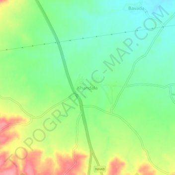
Nom : Carte topographique Khandala, altitude, relief.
Lieu : Khandala, Satara, Maharashtra, 412802, India (18.03840 73.99482 18.07840 74.03482)
Altitude moyenne : 662 m
Altitude minimum : 623 m
Altitude maximum : 724 m