
Carte topographique Chowéthel / Chawathil (Katz)
Carte interactive
Cliquez sur la carte pour afficher l’altitude.
À propos de cette carte
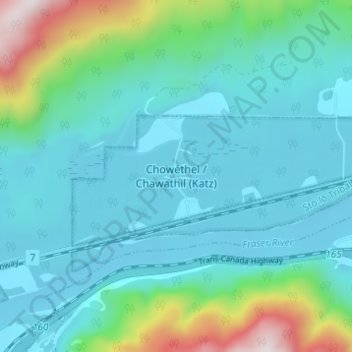
Nom : Carte topographique Chowéthel / Chawathil (Katz), altitude, relief.
Altitude moyenne : 204 m
Altitude minimum : 21 m
Altitude maximum : 1 033 m