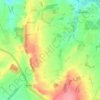
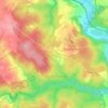
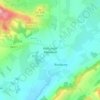
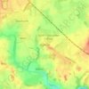
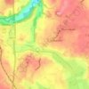
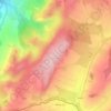
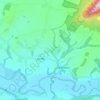
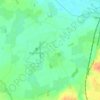
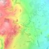
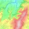
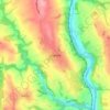
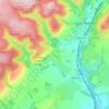
Carte topographique Smethcott
Cliquez sur la carte pour afficher l’altitude.
Smethcott
The name Smethcott has an Old English origin, and means "cottage(s) of the smiths". It was listed as a manor in the Domesday Book, where (spelt "Smerecote") it is recorded as having been held by Eldred, the tenant of its former owner Edmund, who now himself held it from a member of the Anglo-Norman nobility. A 13th century motte-and-bailey castle existed at Smethcott, of which now only the earthworks remain in a field near the church. The motte hill rises to an altitude of 247 metres (810 ft).
À propos de cette carte

Nom : Carte topographique Smethcott, altitude, relief.
Lieu : Smethcott, Shropshire, England, United Kingdom (52.56903 -2.87338 52.61085 -2.78404)
Altitude moyenne : 224 m
Altitude minimum : 100 m
Altitude maximum : 469 m
Autres cartes topographiques
Cliquez sur une carte pour visualiser sa topographie, son altitude et son relief.

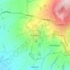

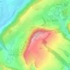
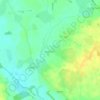
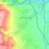

Minton
United Kingdom > England > Shropshire > Church Stretton > Little Stretton
Altitude moyenne : 272 m