Carte topographique Regenthal
Cliquez sur la carte pour afficher l’altitude.
Regenthal
Altenhof | Arnleithen | Elbersberg | Geusmanns | Graisch | Haselbrunn | Haßlach | Hohenmirsberg | Kirchenbirkig | Kleinkirchenbirkig | Kleinlesau | Kühlenfels | Leienfels | Mandlau | Mittelmühle | Neu-Geusmanns | Pottenstein | Prüllsbirkig | Pullendorf | Püttlach | Rackersberg | Regenthal | Rupprechtshöhe | Schüttersmühle | Siegmannsbrunn | Soranger | Steifling | Trägweis | Tüchersfeld | Vorderkleebach | Waidach | Wannberg | Weidenhüll bei Elbersberg | Weidenhüll bei Leienfels | Weidenhüll-Knock | Weidenloh | Weidmannsgesees
À propos de cette carte
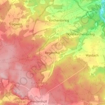
Nom : Carte topographique Regenthal, altitude, relief.
Altitude moyenne : 497 m
Altitude minimum : 384 m
Altitude maximum : 558 m
Autres cartes topographiques
Cliquez sur une carte pour visualiser sa topographie, son altitude et son relief.