
Carte topographique The Monument to the Great Fire of London
Carte interactive
Cliquez sur la carte pour afficher l’altitude.
À propos de cette carte
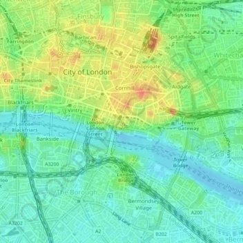
Nom : Carte topographique The Monument to the Great Fire of London, altitude, relief.
Altitude moyenne : 17 m
Altitude minimum : -1 m
Altitude maximum : 44 m