
Carte topographique Thrybergh
Cliquez sur la carte pour afficher l’altitude.
À propos de cette carte
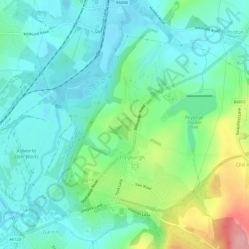
Nom : Carte topographique Thrybergh, altitude, relief.
Lieu : Thrybergh, Rotherham, South Yorkshire, England, United Kingdom (53.44022 -1.31933 53.47167 -1.27965)
Altitude moyenne : 48 m
Altitude minimum : 16 m
Altitude maximum : 140 m
Autres cartes topographiques
Cliquez sur une carte pour visualiser sa topographie, son altitude et son relief.