

Carte topographique Mariposa
Cliquez sur la carte pour afficher l’altitude.
Mariposa
Mariposa is located at 37°29′06″N 119°57′59″W / 37.48500°N 119.96639°W / 37.48500; -119.96639, at 1,949 feet (594 m) in elevation. It lies in the rugged foothills of the Sierra Nevada. Mariposa Creek flows through the town. Soils in the urban area are mostly brown to reddish brown loam of the Blasingame series. A gravelly loam is mapped as the Boomer series. These soils support thick grassland plus trees such as blue oak, black oak, gray pine, and ponderosa pine. To the west-northwest of town is a large area of sparse vegetation and rockland on which is found serpentine soil of the Henneke series.
À propos de cette carte
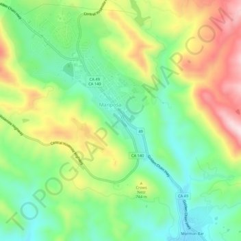
Nom : Carte topographique Mariposa, altitude, relief.
Altitude moyenne : 686 m
Altitude minimum : 537 m
Altitude maximum : 917 m