
Carte topographique Dutchtown
Carte interactive
Cliquez sur la carte pour afficher l’altitude.
À propos de cette carte
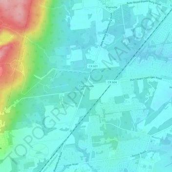
Nom : Carte topographique Dutchtown, altitude, relief.
Altitude moyenne : 49 m
Altitude minimum : 21 m
Altitude maximum : 171 m
Autres cartes topographiques
Cliquez sur une carte pour visualiser sa topographie, son altitude et son relief.
Skillman
United States > New Jersey > Somerset County > Montgomery Township
Skillman, Montgomery Township, Somerset County, New Jersey, 08558, United States
Altitude moyenne : 56 m