
Carte topographique Great Witchingham Village Hall Park
Carte interactive
Cliquez sur la carte pour afficher l’altitude.
À propos de cette carte
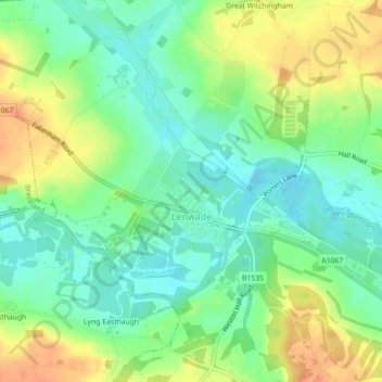
Nom : Carte topographique Great Witchingham Village Hall Park, altitude, relief.
Altitude moyenne : 26 m
Altitude minimum : 9 m
Altitude maximum : 47 m