
Carte topographique 株良镇
Carte interactive
Cliquez sur la carte pour afficher l’altitude.
À propos de cette carte
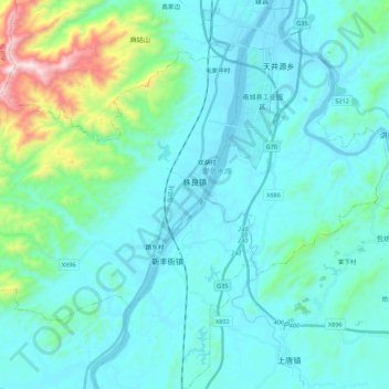
Nom : Carte topographique 株良镇, altitude, relief.
Lieu : 株良镇, 南城县, 抚州市, 江西省, 中国 (27.39035 116.40927 27.53302 116.62723)
Altitude moyenne : 197 m
Altitude minimum : 60 m
Altitude maximum : 1 036 m
Autres cartes topographiques
Cliquez sur une carte pour visualiser sa topographie, son altitude et son relief.