
Carte topographique Great Canyon
Carte interactive
Cliquez sur la carte pour afficher l’altitude.
À propos de cette carte
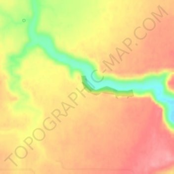
Nom : Carte topographique Great Canyon, altitude, relief.
Lieu : Great Canyon, Stillwater County, Montana, United States (45.79520 -108.95799 45.79883 -108.94624)
Altitude moyenne : 1 200 m
Altitude minimum : 1 137 m
Altitude maximum : 1 232 m