
Carte topographique Bray
Carte interactive
Cliquez sur la carte pour afficher l’altitude.
À propos de cette carte
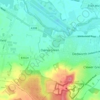
Nom : Carte topographique Bray, altitude, relief.
Altitude moyenne : 37 m
Altitude minimum : 15 m
Altitude maximum : 90 m
Autres cartes topographiques
Cliquez sur une carte pour visualiser sa topographie, son altitude et son relief.
Windsor Marina
United Kingdom > England > Royal Borough of Windsor and Maidenhead > Oakley Green
Windsor Marina, Oakley Green, Bray, Royal Borough of Windsor and Maidenhead, England, United Kingdom
Altitude moyenne : 26 m