
Carte topographique 东丽区
Carte interactive
Cliquez sur la carte pour afficher l’altitude.
À propos de cette carte
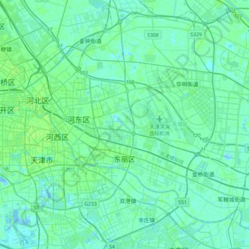
Nom : Carte topographique 东丽区, altitude, relief.
Lieu : 东丽区, 天津市, 中国 (38.99447 117.22725 39.24760 117.56256)
Altitude moyenne : 4 m
Altitude minimum : -5 m
Altitude maximum : 21 m
Autres cartes topographiques
Cliquez sur une carte pour visualiser sa topographie, son altitude et son relief.