

Carte topographique Ashoknagar Kalyangarh
Cliquez sur la carte pour afficher l’altitude.
Ashoknagar Kalyangarh
Ashoknagar is located at 22°49′59″N 88°37′59″E / 22.833°N 88.633°E / 22.833; 88.633. It is situated in the World's largest delta, The Ganga-Brahmaputra Delta. The elevation of Ashoknagar Kalyangarh from sea-level is 8 meters. There are many forest, several lakes, some canals and vast green fields in this area. Below the ground of Ashoknagar, there is a huge amount of petroleum (as the ONGC and The Union Minister of Petroleum and Natural Gas, Mr. Dharmendra Pradhan said).
À propos de cette carte
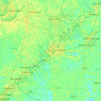
Nom : Carte topographique Ashoknagar Kalyangarh, altitude, relief.
Altitude moyenne : 7 m
Altitude minimum : -2 m
Altitude maximum : 17 m