Carte topographique Craven
Cliquez sur la carte pour afficher l’altitude.
Craven
Vegetation in the Pennines is adapted to subarctic climates, but altitude and acidity are also factors. For example, on Sutton Moor the millstone grit's topsoil below 275 m (902 ft) has a soil ph that is almost neutral, ph 6 to 7, and so grows good grazing. However, above 275 m (902 ft) it is acidic, ph 2 to 4, and so can grow only bracken, heather, sphagnum, and coarse grasses such as cottongrass, purple moor grass and heath rush. However dressing it with lime produces better quality grass for sheep grazing. Such is named marginal upland grazing. This suggests that early pastoral farming on millstone grit soil flourished in areas where lime was most easily available.
À propos de cette carte
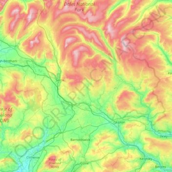
Nom : Carte topographique Craven, altitude, relief.
Lieu : Craven, North Yorkshire, England, United Kingdom (53.85013 -2.56474 54.25714 -1.81673)
Altitude moyenne : 294 m
Altitude minimum : 38 m
Altitude maximum : 729 m
Autres cartes topographiques
Cliquez sur une carte pour visualiser sa topographie, son altitude et son relief.