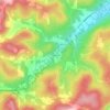
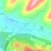
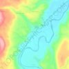
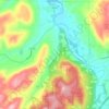
Carte topographique Moss Lake
Cliquez sur la carte pour afficher l’altitude.
À propos de cette carte
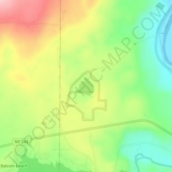
Nom : Carte topographique Moss Lake, altitude, relief.
Lieu : Moss Lake, Allegany County, New York, United States (42.39749 -78.18762 42.40050 -78.18429)
Altitude moyenne : 452 m
Altitude minimum : 364 m
Altitude maximum : 560 m
Autres cartes topographiques
Cliquez sur une carte pour visualiser sa topographie, son altitude et son relief.
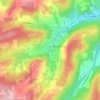
Alfred
United States > New York > Allegany County > Alfred
The elevation of Alfred is about 1,700 feet (520 m) but rises to a high point of 2,355 feet (718 m) at the summit of Jericho Hill just south of the village. The hills greatly affect the weather in the region, which results in quick changes as well as different conditions in neighboring valleys.
Altitude moyenne : 604 m
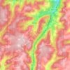
Town of Alfred
United States > New York > Allegany County
There is a small stream known as Canacadea Creek, that flows throughout the year from south to north. This stream flows to the Canisteo River, which is a tributary to the Susquehanna River watershed. The topography is steep hill country as it is part of the Allegheny Plateau, being the northern part of the…
Altitude moyenne : 630 m
Village of Almond
United States > New York > Allegany County > Town of Almond
Altitude moyenne : 469 m