
Carte topographique Alturas
Carte interactive
Cliquez sur la carte pour afficher l’altitude.
Alturas
Alturas is located on the Pit River, east of the center of Modoc County, at an elevation of 4370 feet (1332 m). As the county seat, the town is a home to regional government offices, including a California Highway Patrol office and a state Department of Motor Vehicles office.
À propos de cette carte
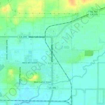
Nom : Carte topographique Alturas, altitude, relief.
Altitude moyenne : 1 337 m
Altitude minimum : 1 327 m
Altitude maximum : 1 358 m