
Carte topographique 莲湖乡
Carte interactive
Cliquez sur la carte pour afficher l’altitude.
À propos de cette carte
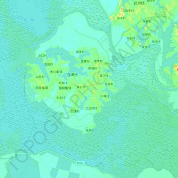
Nom : Carte topographique 莲湖乡, altitude, relief.
Lieu : 莲湖乡, 鄱阳县, 上饶市, 江西省, 中国 (28.90195 116.45021 29.06394 116.66279)
Altitude moyenne : 15 m
Altitude minimum : 7 m
Altitude maximum : 62 m
Autres cartes topographiques
Cliquez sur une carte pour visualiser sa topographie, son altitude et son relief.