

Carte topographique Albany
Cliquez sur la carte pour afficher l’altitude.
Albany
The highest natural point in Albany is a USGS benchmark near the Loudonville Reservoir off Birch Hill Road, at 378 feet (115 m) above sea level. The lowest point is sea level at the Hudson River (the average water elevation is 2 feet (0.61 m)), which is still technically an estuary at Albany and is affected by the Atlantic tide. The interior of Albany consists of rolling hills which were once part of the Albany Pine Bush, an area of pitch pine and scrub oak, and has arid, sandy soil that is a remnant of the ancient Lake Albany. Due to development, the Pine Bush has shrunk from an original 25,000 to 6,000 acres (10,100 to 2,400 ha) today. A preserve was set up by the State Legislature in 1988 and is on the city's western edge, spilling into Guilderland and Colonie; it is the only sizable inland pine barrens sand dune ecosystem in the United States, and is home to many endangered species, including the Karner Blue butterfly.
À propos de cette carte
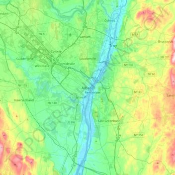
Nom : Carte topographique Albany, altitude, relief.
Lieu : Albany, Albany County, New York, 12207, United States (42.49117 -73.91497 42.81117 -73.59497)
Altitude moyenne : 114 m
Altitude minimum : -2 m
Altitude maximum : 421 m