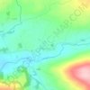
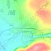
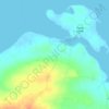
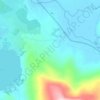
Carte topographique Ross Behy
Cliquez sur la carte pour afficher l’altitude.
À propos de cette carte

Nom : Carte topographique Ross Behy, altitude, relief.
Altitude moyenne : 57 m
Altitude minimum : -3 m
Altitude maximum : 269 m
Autres cartes topographiques
Cliquez sur une carte pour visualiser sa topographie, son altitude et son relief.

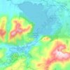
Killarney National Park
Killarney National Park is in southwest Ireland close to the island's most westerly point. The Lakes of Killarney and the Mangerton, Torc, Shehy and Purple Mountains are in the park. Altitudes in the park range from 22 metres (72 ft) to 842 metres (2,762 ft). A major geological boundary between Devonian Old…
Altitude moyenne : 212 m

Ardfert
A large tomb in the grounds of the cathedral was built much later by John O'Donnell (1803–1879), the most prominent descendant two centuries later, and whose own direct male descendant was the late Patrick Denis O'Donnell (1922–2005), the Irish military historian. He owned the summit overlooking Ardfert…
Altitude moyenne : 20 m


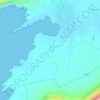






















Dingle
Dingle's St. Mary's is a neo-Gothic church built to designs by J. J. McCarthy and O'Connell. The foundation stone was laid in 1862. It originally had a nave and aisles separated by arcades, supported on columns capped by octagonal tops. The arcades were demolished in one of the most radical reordering schemes…
Altitude moyenne : 41 m