
Carte topographique King Edwards Bay
Carte interactive
Cliquez sur la carte pour afficher l’altitude.
À propos de cette carte
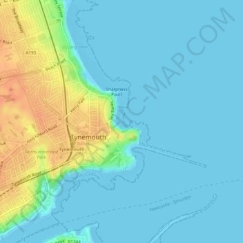
Nom : Carte topographique King Edwards Bay, altitude, relief.
Altitude moyenne : 10 m
Altitude minimum : -1 m
Altitude maximum : 38 m
Autres cartes topographiques
Cliquez sur une carte pour visualiser sa topographie, son altitude et son relief.
Cullercoats
United Kingdom > England > North Tyneside > Tynemouth
Cullercoats, Tynemouth, North Tyneside, North of Tyne, England, NE30 4QJ, United Kingdom
Altitude moyenne : 10 m