
Carte topographique Tagong
Carte interactive
Cliquez sur la carte pour afficher l’altitude.
À propos de cette carte
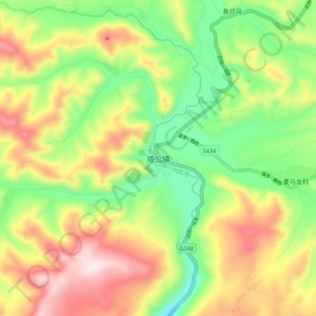
Nom : Carte topographique Tagong, altitude, relief.
Altitude moyenne : 3 874 m
Altitude minimum : 3 626 m
Altitude maximum : 4 188 m
It is the location of Lha'ggong Monastery — a gompa and one of the most important in the area, in Tibetan Pel Lhagong. It was established with reference to a nearby sacred mountain, Mt. Yala or Zhara Lhaste, 5,820 metres (19,090 ft) in elevation.