
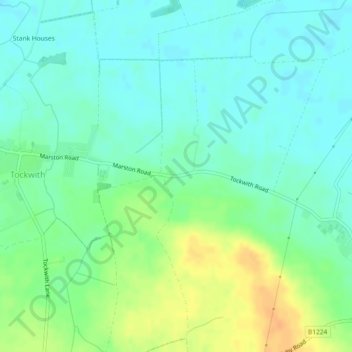
Carte topographique Marston Moor
Carte interactive
Cliquez sur la carte pour afficher l’altitude.
À propos de cette carte
Nom : Carte topographique Marston Moor, altitude, relief.
Altitude moyenne : 24 m
Altitude minimum : 12 m
Altitude maximum : 45 m
Autres cartes topographiques
Cliquez sur une carte pour visualiser sa topographie, son altitude et son relief.
Angram
United Kingdom > England > North Yorkshire > Harrogate > Long Marston
Angram, Long Marston, Harrogate, North Yorkshire, England, YO23 3PA, United Kingdom
Altitude moyenne : 23 m
Long Marston
United Kingdom > England > North Yorkshire > Harrogate > Long Marston
Long Marston, Harrogate, North Yorkshire, Yorkshire and the Humber, England, United Kingdom
Altitude moyenne : 22 m