
Carte topographique Dhand
Carte interactive
Cliquez sur la carte pour afficher l’altitude.
À propos de cette carte
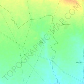
Nom : Carte topographique Dhand, altitude, relief.
Lieu : Dhand, Mahwa Tehsil, Dausa District, Rajasthan, India (26.88204 77.03395 26.92204 77.07395)
Altitude moyenne : 224 m
Altitude minimum : 210 m
Altitude maximum : 241 m
Autres cartes topographiques
Cliquez sur une carte pour visualiser sa topographie, son altitude et son relief.
Maujpur
India > Rajasthan > Mahwa Tehsil
Maujpur, Mahwa Tehsil, Dausa District, Rajasthan, India
Altitude moyenne : 242 m