
Carte topographique Great Bend
Carte interactive
Cliquez sur la carte pour afficher l’altitude.
À propos de cette carte
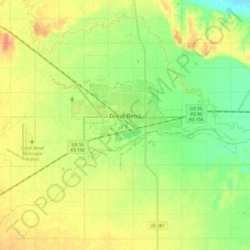
Nom : Carte topographique Great Bend, altitude, relief.
Lieu : Great Bend, Barton County, Kansas, United States of America (38.33027 -98.88497 38.38372 -98.69708)
Altitude moyenne : 570 m
Altitude minimum : 549 m
Altitude maximum : 593 m
Great Bend is located at 38°21′52″N 98°45′53″W / 38.36444°N 98.76472°W / 38.36444; -98.76472 (38.3644567, -98.7648073) at an elevation of 1,850 feet (564 m). Located in central Kansas at the intersection of U.S. Route 281 and U.S. Route 56, Great Bend is 95 miles (153 km) northwest of Wichita, 235 miles (378 km) west-southwest of Kansas City, and 345 miles (555 km) east-southeast of Denver.