
Carte topographique Papago Park
Carte interactive
Cliquez sur la carte pour afficher l’altitude.
À propos de cette carte
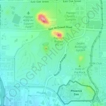
Nom : Carte topographique Papago Park, altitude, relief.
Altitude moyenne : 387 m
Altitude minimum : 357 m
Altitude maximum : 495 m
The Ponds have a surface area of 6 acres (2.4 ha) with an average depth of 8 ft (2.4 m), the elevation of the area is 1,100 ft (340 m).