
Carte topographique Chitral
Carte interactive
Cliquez sur la carte pour afficher l’altitude.
À propos de cette carte
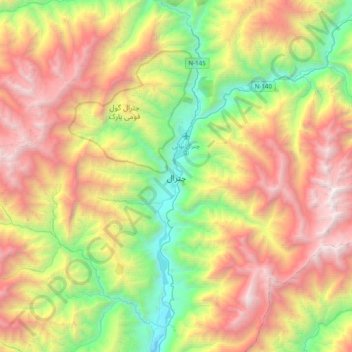
Nom : Carte topographique Chitral, altitude, relief.
Altitude moyenne : 2 982 m
Altitude minimum : 1 358 m
Altitude maximum : 5 126 m
The city has an average elevation of 1,500 m (4,921 ft).