
Carte topographique Batpora
Carte interactive
Cliquez sur la carte pour afficher l’altitude.
À propos de cette carte
Nom : Carte topographique Batpora, altitude, relief.
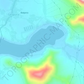
Altitude moyenne : 1 633 m
Altitude minimum : 1 580 m
Altitude maximum : 1 948 m
Along the course of the Jhelum River, the Manasbal Lake falls under the third series of high altitude lakes of the Himalayas (designated with respect to their origin, altitudinal situation and nature of biota they contain) as the valley lakes (Dal, Anchar Lake, Manasbal etc.) situated at the altitudinal zone of 1,585–1,600 m (5,200–5,249 ft); the other two types being the high altitude wetlands (altitude 1,585–4,000 m or 5,200–13,123 ft amsl) of the second series of lakes (Nilnag) in the lower fringes of Pir Panjal ranges right in the midst of pine forests, and the glaciated lakes of the first series situated on the inner Himalayas between 3,000–4,000 m (9,800–13,100 ft) amsl (Alipathar, Sheshnag, Kounsarnag, Tar Sar, Marsar, Vishansar, Gangbal, Kishan Sar, Kyo Tso, Pangong Tso, etc.) which have probably originated during the third Himalayan glaciation. A fissure is reported to be running from east to west at the centre of the lake.