
Carte topographique Town of Tonawanda
Carte interactive
Cliquez sur la carte pour afficher l’altitude.
À propos de cette carte
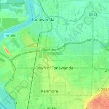
Nom : Carte topographique Town of Tonawanda, altitude, relief.
Lieu : Town of Tonawanda, Erie County, New York, United States (42.94914 -78.94415 43.03461 -78.82214)
Altitude moyenne : 183 m
Altitude minimum : 169 m
Altitude maximum : 218 m