
Carte topographique Thousand Islands National Park (Mallorytown Landing)
Carte interactive
Cliquez sur la carte pour afficher l’altitude.
À propos de cette carte
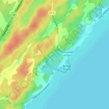
Nom : Carte topographique Thousand Islands National Park (Mallorytown Landing), altitude, relief.
Altitude moyenne : 89 m
Altitude minimum : 72 m
Altitude maximum : 116 m