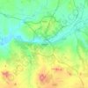
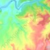
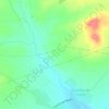
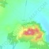
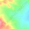
Carte topographique Sonseca
Cliquez sur la carte pour afficher l’altitude.
Sonseca
The municipality covers an area of 60.27 km². The altitude in the northern part is around 754 m above sea level, with slight variations near the Montes de Toledo, where the land gently rises to the south. Sonseca consists of two main settlements: the town of Sonseca and the hamlet of Casalgordo, located southwest of the municipality. Casalgordo was an independent municipality until 1853 and now has a small population.
À propos de cette carte
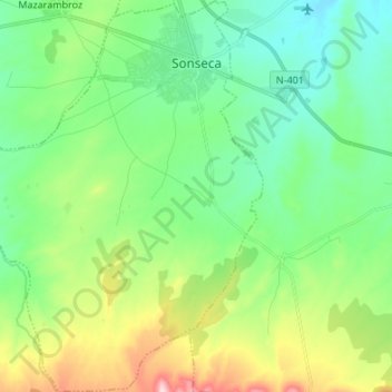
Nom : Carte topographique Sonseca, altitude, relief.
Lieu : Sonseca, Toledo, Castile-La Mancha, 45100, Spain (39.59046 -4.04926 39.69525 -3.94750)
Altitude moyenne : 788 m
Altitude minimum : 714 m
Altitude maximum : 967 m
Autres cartes topographiques
Cliquez sur une carte pour visualiser sa topographie, son altitude et son relief.