
Carte topographique 望古
Carte interactive
Cliquez sur la carte pour afficher l’altitude.
À propos de cette carte
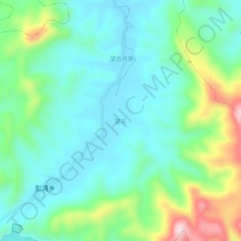
Nom : Carte topographique 望古, altitude, relief.
Lieu : 望古, 贵溪市, 鹰潭市, 江西省, 中国 (28.08677 117.11772 28.12677 117.15772)
Altitude moyenne : 151 m
Altitude minimum : 61 m
Altitude maximum : 400 m
Autres cartes topographiques
Cliquez sur une carte pour visualiser sa topographie, son altitude et son relief.