
Carte topographique Kaohsiung
Carte interactive
Cliquez sur la carte pour afficher l’altitude.
À propos de cette carte
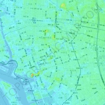
Nom : Carte topographique Kaohsiung, altitude, relief.
Lieu : Kaohsiung, District de Lingya, 802, Taïwan (22.60853 120.28870 22.63847 120.34527)
Altitude moyenne : 10 m
Altitude minimum : -9 m
Altitude maximum : 54 m
Autres cartes topographiques
Cliquez sur une carte pour visualiser sa topographie, son altitude et son relief.