
Carte topographique 東沙島
Carte interactive
Cliquez sur la carte pour afficher l’altitude.
À propos de cette carte
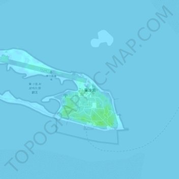
Nom : Carte topographique 東沙島, altitude, relief.
Lieu : 東沙島, Kaohsiung, Taïwan (20.69728 116.71019 20.70970 116.73487)
Altitude moyenne : 0 m
Altitude minimum : -1 m
Altitude maximum : 8 m
Autres cartes topographiques
Cliquez sur une carte pour visualiser sa topographie, son altitude et son relief.