
Carte topographique 九连山镇
Carte interactive
Cliquez sur la carte pour afficher l’altitude.
À propos de cette carte
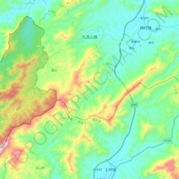
Nom : Carte topographique 九连山镇, altitude, relief.
Lieu : 九连山镇, 龙南市, 赣州市, 江西省, 中国 (24.48885 114.38199 24.65599 114.58782)
Altitude moyenne : 565 m
Altitude minimum : 290 m
Altitude maximum : 1 296 m
Autres cartes topographiques
Cliquez sur une carte pour visualiser sa topographie, son altitude et son relief.