
Carte topographique 灵山
Carte interactive
Cliquez sur la carte pour afficher l’altitude.
À propos de cette carte
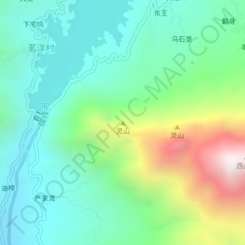
Nom : Carte topographique 灵山, altitude, relief.
Lieu : 灵山, 广信区, 上饶市, 江西省, 中国 (28.57894 117.74658 28.57904 117.74668)
Altitude moyenne : 474 m
Altitude minimum : 140 m
Altitude maximum : 1 320 m
Autres cartes topographiques
Cliquez sur une carte pour visualiser sa topographie, son altitude et son relief.